The best Route 66 tips come down to a few plain rules: give the trip about two weeks, book the famous motels before anything else, plan each day from a map of the old alignments instead of letting your phone choose, fill up at half a tank west of Albuquerque, arrive before dark, and check opening days, because small museums and cafes keep short hours and many close on Sundays. Get those right and the rest of the road takes care of itself.
I'm Helena. I drove all 2,448 miles from Chicago to Santa Monica in April 2026 for the Centennial Edition of my Route 66 Field Manual, and these are the 21 things first-timers most often tell me they wish someone had said before they left. Each one is concrete, and the facts behind them are linked at the bottom of the page.
Route 66 tips before you go
1. Give it two weeks, not one
Driving the whole road at a comfortable pace takes about 14 days. The driving time on the old road alone is roughly 50 to 60 hours, because most of it is two-lane road through small towns, against about 30 to 35 hours on the interstates. You can do it in a week, but you will see much of it from I-40. I ran the numbers for 5, 7, 10, 14 and 21 days in how long it takes to drive Route 66.
2. Pick May or the fall
May is the best month, and mid-September through October is a close second. Those are the weeks when Chicago is mild, Flagstaff's snow is mostly gone and Needles in the Mojave is still well below its July average high of 111°F. Summer means heat and crowds, and winter means snow days in Arizona and New Mexico. The month-by-month detail is in the best time to drive Route 66.
3. Book the famous motels first, especially around the centennial
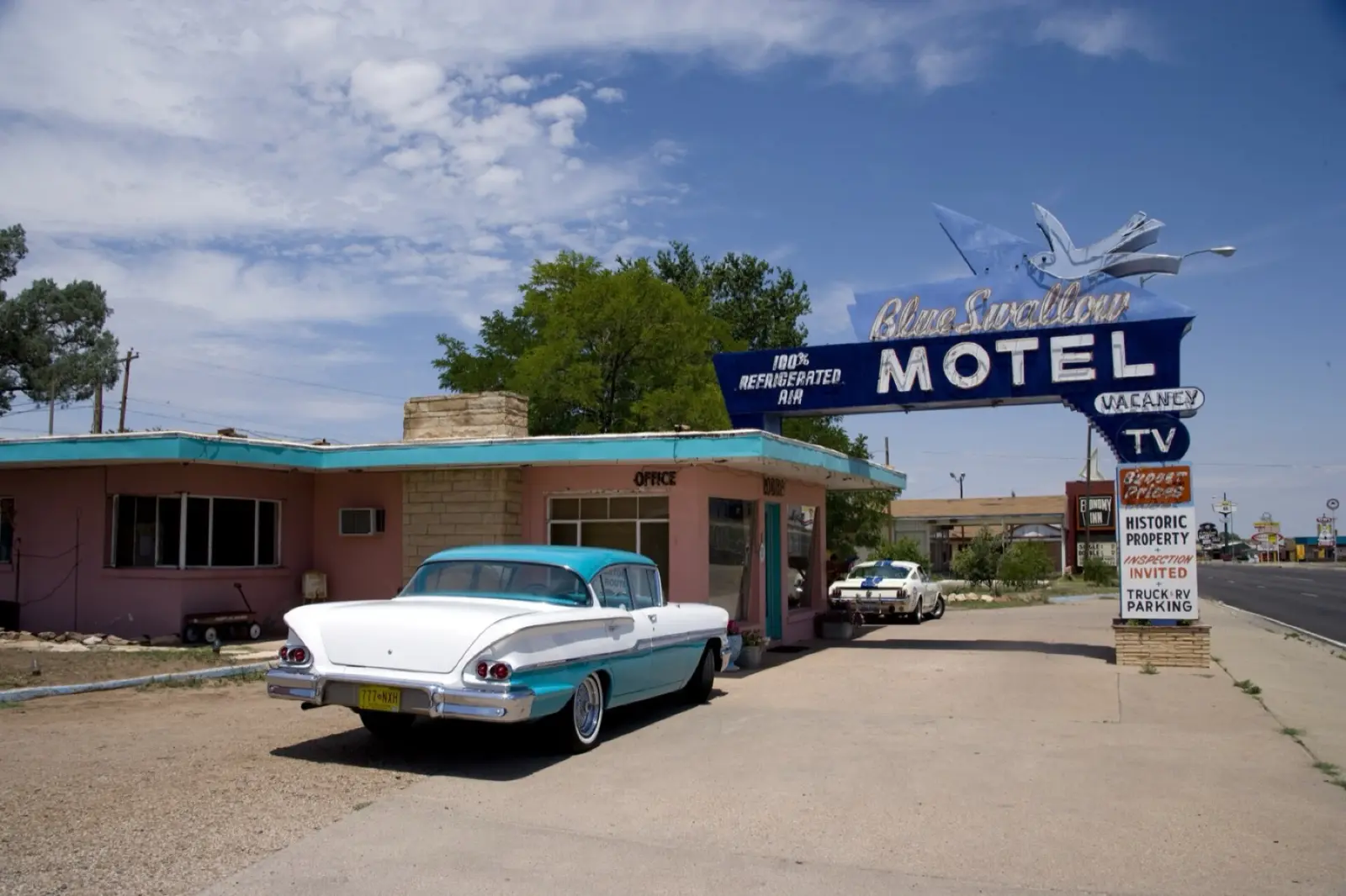
Route 66 turns 100 on Wednesday, November 11, 2026, and this year whole tours have bought out small motels: a Porsche club booked all 14 rooms at Motel Safari in Tucumcari in April. The Blue Swallow, both Wigwam motels and Boots Court are the ones that fill first in summer and fall. Lock in those nights, then build the trip around them. My shortlist is in the best Route 66 motels.
4. Don't let your phone pick the road
Type "Amboy" or "Tucumcari" into a navigation app and it will draw the fastest line, which is almost always the interstate. Long pieces of Route 66 run as frontage roads right beside I-55, I-44 and I-40, and one wrong ramp can put you on the highway for an hour. Two habits fix it: break the day into short legs (Google Maps takes up to nine stops, destination included) and use coordinates on the old road instead of town names. I explain where the old road and the interstate part ways in Route 66 vs I-40.
5. Know which Route 66 you are driving
There isn't one Route 66. The road was moved and straightened over the decades, so many towns have two or three alignments. The biggest choice is in New Mexico: the original road swung north through Santa Fe until 1937, when a straighter line from Santa Rosa to Albuquerque replaced it. Decide before you go which version you want, because the two are a day apart in feel. For turn-by-turn directions, the EZ66 Guide for Travelers is still the standard book; I compared it with the others in the best Route 66 guide books.
6. Pick up a free state passport
Several states run Route 66 passport programs, and most are free. Oklahoma's comes from TravelOK: stops stamp each section, and finished sections earn pieces of a Route 66 magnet and, at the end, a collectible coin. Illinois has a free Centennial Passport covering 17 stops. New Mexico MainStreet runs a free Centennial Passport through December 2026, with keepsake stickers. In Arizona, the Historic Route 66 Association of Arizona sells a printed passport. Programs change each season, so request the current edition before you leave.
7. Check road closures the week you leave
A few segments change status every year. In California, San Bernardino County posts closures on the National Trails Highway through the Mojave, where bridge work and storm damage have shut pieces of the old road. On the Texas and New Mexico line, the old road from Glenrio to San Jon is gravel. In Illinois, the canal bridge to the Chain of Rocks Bridge from the Illinois side is closed for construction for the rest of 2026, so walk the old bridge from the Missouri side. Never drive around a barricade.
Route 66 tips and tricks on the road
8. Follow the brown signs, but don't depend on them
The brown "Historic Route 66" signs went up state by state as the Route 66 associations formed, years after the highway was dropped from the federal system in 1985. They are a good confirmation that you are on the old road. They are not a navigation system: the old road is not one continuous signed highway, and a turn can come up with no sign at all. Use them to check your map, not to replace it.
9. Fill up at half a tank west of Albuquerque
East of Albuquerque you are rarely far from a town. West of it, the gaps between reliable fuel get long. These are approximate distances measured on a map; your exact figure depends on the alignment you drive.
| Stretch | Approx. miles | Fill up in |
|---|---|---|
| Santa Rosa to Moriarty, NM (1937 route) | 115 | Santa Rosa |
| Gallup, NM to Holbrook, AZ | 96 | Gallup |
| Seligman to Kingman, AZ | 89 | Seligman |
| Kingman to Topock, AZ, via Oatman | 54 | Kingman |
| Needles to Amboy, CA, via I-40 and Kelbaker Road | about 90 | Needles |
The National Park Service warns that there is no gas station where Kelbaker Road meets I-40. Roy's in Amboy was selling gas in mid-2026, but one small station in the desert is a backup, not a plan.
10. Download offline maps the night before the desert
The Park Service says cell service is unreliable or missing across most of the Mojave National Preserve, and the Bureau of Land Management says the same of the Mojave Trails National Monument, which the old road crosses. Download the maps at the motel while you still have Wi-Fi, and carry a printed map or guide as a backup. The rest of the safety picture, from heat to night driving, is in is Route 66 safe.
11. Plan to arrive before dark
Most of the old road is unlit two-lane with little or no shoulder, and dusk is when deer, elk and livestock cross. NHTSA found that about half of passenger vehicle occupant deaths happen at night, although only about a quarter of driving does. On the old road, 200 to 250 miles a day with stops is a full day; that's about what my 10-day plan averages. Three hundred miles on Route 66 is a long, tiring day, and you may find the motel office already closed.
12. Watch the clock: three time zones and Arizona
Route 66 crosses the Central, Mountain and Pacific time zones. Arizona does not observe daylight saving time, so in summer it matches California, not New Mexico. Daylight saving ends on Sunday, November 1, 2026, which moves sunset an hour earlier in every Route 66 state except Arizona. If you drive in November, your "arrive before dark" deadline moves up by an hour overnight.
13. Drive Oatman slowly, and feed the burros only off the road
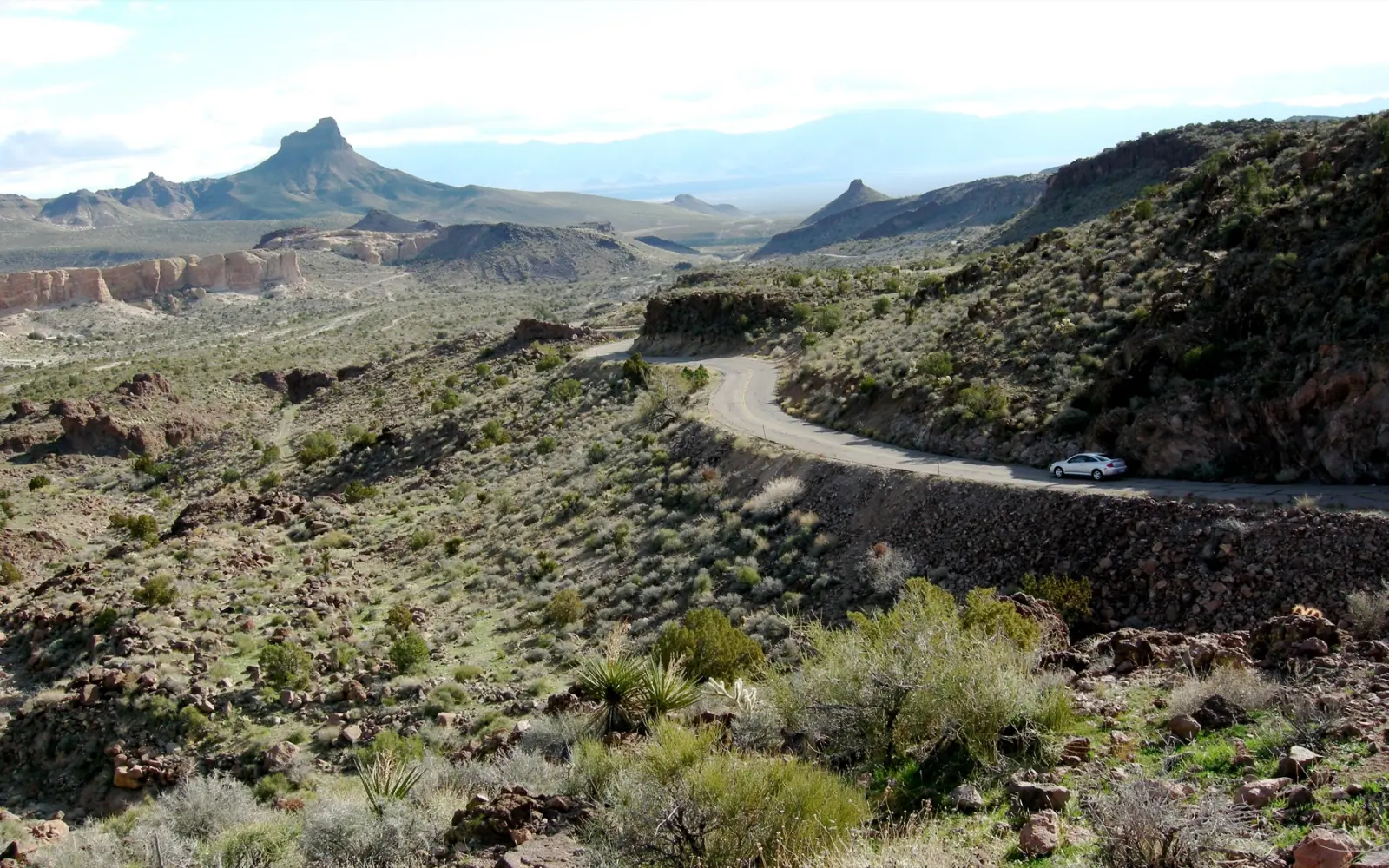
West of Kingman, the old road climbs over Sitgreaves Pass on narrow pavement with hairpin curves, and it is closed to vehicles over 40 feet long. Drive it in daylight and in good weather, in a low gear on the way down. In Oatman, wild burros from the Black Mountain herd walk right up to cars. Drive at walking pace through town, and if you want to feed them, use the hay cubes sold in the shops and never feed them in the roadway: Mohave County has posted signs saying exactly that.
14. Photograph with manners
Many of the abandoned stations, motels and signs you will want to photograph sit on private land, even when they look forgotten. Shoot from the road or the shoulder, stay outside fences and "No Trespassing" signs, and never climb on old buildings. Where an owner does welcome visitors, like Cadillac Ranch on private land outside Amarillo, treat it as the owner's land that it is and leave it as you found it, apart from the paint. In the open businesses, ask before photographing the people who run them, and buy something: a postcard or a soda keeps these places going. The Chain of Rocks Bridge is for walkers and cyclists only, so park and walk it.
Where to sleep and eat on Route 66
15. Call the motel directly
Many of the classic motels have fewer than 20 rooms and one person at the desk. On the phone you can ask for a specific room, like a garage room at the Blue Swallow in Tucumcari or Clark Gable's room at Boots Court in Carthage, which booking sites rarely let you choose. You also find out about late check-in before you need it.
16. Confirm a few days out
Motels on this road change hands, close for renovation, and sometimes go up for sale while still taking guests. On my April 2026 drive I found the River Valley Inn in Needles closed and six motels in Gallup red-tagged by the city. A short call two or three days ahead saves you a bad surprise at 7 p.m. in the desert.
17. Have lunch at the old cafe, keep dinner flexible
Small Route 66 cafes keep short and seasonal hours. Emma Jean's Holland Burger Cafe in Victorville serves breakfast and lunch only. The Midpoint Cafe in Adrian, Texas, closes after October. Roy's in Amboy was running as a gas station and souvenir shop in 2026, with no cafe service. Plan the famous meal for midday, when the most places are open, and keep the evening meal to whatever is near the motel. My picks by state are in my guide to the best Route 66 diners.
18. Carry some cash in small bills
Cards work almost everywhere, but small-town Route 66 still runs partly on cash: tips, a slice of pie at a counter, hay cubes in Oatman, a few dollars into the jar at a free museum. Some places have gone the other way: the Dockweiler RV Park near Santa Monica went cashless in 2025. Carry both, and about $100 in small bills covers most of a trip's cash needs.
Money and timing tips for Route 66
19. Plan around Sundays and holidays
The small museums are the ones that catch people out. Check the days before you fix your schedule:
| Stop | Town | Hours I found | Watch for |
|---|---|---|---|
| Oklahoma Route 66 Museum | Clinton, OK | Monday to Saturday, 9 a.m. to 5 p.m. | Closed Sundays, and closed on November 11, 2026 |
| Route 66 Museum at the library | Lebanon, MO | Monday to Thursday 8 a.m. to 8 p.m., Friday to 5 p.m., Saturday 10 a.m. to 4 p.m. | Closed Sundays |
| Route 66 Mother Road Museum | Barstow, CA | Monday to Saturday 11 a.m. to 2 p.m., Sunday noon to 3 p.m. | Three-hour window |
| California Route 66 Museum | Victorville, CA | Monday to Saturday 10 a.m. to 4 p.m., Sunday 11 a.m. to 3 p.m. | Free; short Sunday |
I checked these hours for my 2026 state guides; they can change, so confirm on the museum's own page the week you go. If a Sunday falls in Oklahoma, put Clinton on the Saturday or the Monday and use the Sunday for the open-air stops.
20. Budget for the costs people forget
A two-week trip for two runs about $2,500 on a tight budget, about $4,400 mid-range, and $7,000 or more with the best rooms. Gas for all 2,448 miles is about $400 to $600 at October 2026 prices. The two lines that can double the bill are the flights in and out and a one-way car rental with its drop fee, so price those before you price motels. The line-by-line math is in how much it costs to drive Route 66, and the free trip planner at route66operator.com gives miles, hours and costs between 56 towns.
21. Leave one empty day
A closed road in the Mojave, snow in Flagstaff, a monsoon storm in Arizona or a windy day in New Mexico can each cost you an afternoon. One unplanned day in the middle of a two-week trip absorbs all of that, and if nothing goes wrong, you spend it in the town you liked best. When you're ready to put the days together, start with my Route 66 road trip planner.
Route 66 checklist: print this before you leave
- Days set: about 14 for the whole road, plus one empty day
- Season picked: May or mid-September through October if you can
- Famous motels booked and confirmed by phone (Blue Swallow, Wigwams, Boots Court)
- Centennial event dates checked against your route
- Printed guide or map of the old alignments in the car
- Daily legs entered as coordinates, not town names
- Offline maps downloaded for New Mexico, Arizona and California
- State passports requested or printed
- San Bernardino County closures and the Chain of Rocks access checked the week you leave
- Museum days checked, especially anything you want to see on a Sunday
- Rule set: fill up at half a tank west of Albuquerque
- Water: at least a gallon per person per day for the desert, plus extra for the car
- About $100 in small bills, plus a card
- Phone charger, power bank and a paper list of motel phone numbers
- Prescriptions, a medication list and your roadside assistance number
- Sunscreen, hat and a light jacket (Flagstaff is at about 7,000 feet)
- Flights and one-way rental priced, drop fee included
- Every day planned to end before dark
The short version
Two weeks, booked motels, a real map, half a tank in the West, home before dark, and a look at the opening days. That's most of what separates a good first trip from a frustrating one. I put 169 maps, 105 GPS waypoints, and nine restaurants and nine hotels per state on three budgets into Route 66, The Definitive Field Manual, but the 21 tips above will serve you whatever you carry.